
Coille Nathais map
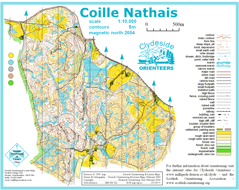
Coille nathais
Information
Classic Scottish West Coast Area. An area consisting mainly of natural woodland with some open moorland and a little cropped grazing. There is a wealth of contour detail on all scales and a fair scattering of rock detail. There are few line features making this a true test of orienteering ability in magnificent surroundings.
Location
Near: Taynuilt Lat,Lng: 56.429,-5.2411 OS Grid Ref: NM984322 Postcode: PA35 1JW What3Words: ///gymnasium.scores.useful
/-5.2411,56.429,12/500x400?access_token=pk.eyJ1IjoicGF1bGZyb3N0IiwiYSI6ImNrb3dtYXoycjA2NGMyeHQ2bmRqMnFrZjIifQ.nP5lTcgIDEirGf32roluZg)
Open an interactive map in:
GoogleMap -
OpenStreetMap -
BingMap (OS 50k)