
Houston & Crosslee map
Houston and Crosslee
Information
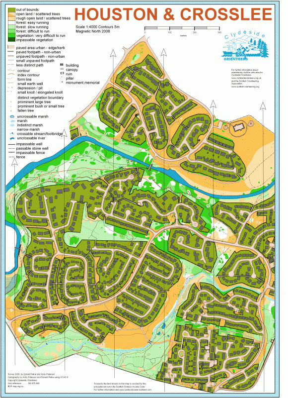
This largely urban map was produced by local residents Donald and Andy. It is an interestingly complicated mixture of urban, open and forested terrain and the rapid changes of terrain mean you really have to keep your wits about you. The map had its first use at the AGM and street race in 2009.
Location
Near: Houston Lat,Lng: 55.8642,-4.539 OS Grid Ref: NS415660 Postcode: PA6 7DN What3Words: ///acrobats.returns.passively
/-4.539,55.8642,12/500x400?access_token=pk.eyJ1IjoicGF1bGZyb3N0IiwiYSI6ImNrb3dtYXoycjA2NGMyeHQ2bmRqMnFrZjIifQ.nP5lTcgIDEirGf32roluZg)
Open an interactive map in:
GoogleMap -
OpenStreetMap -
BingMap (OS 50k)