
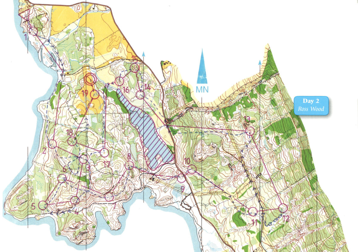
Ross Wood and Rowardennan map
Ross Wood
Information
Ross Wood and Rowardennan were used in the 1989 Scottish Six Days and local events and has fallen out of use. With the arrival of new LiDAR data, our aim is to revive this map.
Location
Near: Balmaha Lat,Lng: 56.1292,-4.6128 Postcode: G63 0JU
/-4.6128,56.1292,12/500x400?access_token=pk.eyJ1IjoicGF1bGZyb3N0IiwiYSI6ImNrb3dtYXoycjA2NGMyeHQ2bmRqMnFrZjIifQ.nP5lTcgIDEirGf32roluZg)
Open an interactive map in:
GoogleMap -
OpenStreetMap -
BingMap (OS 50k)