
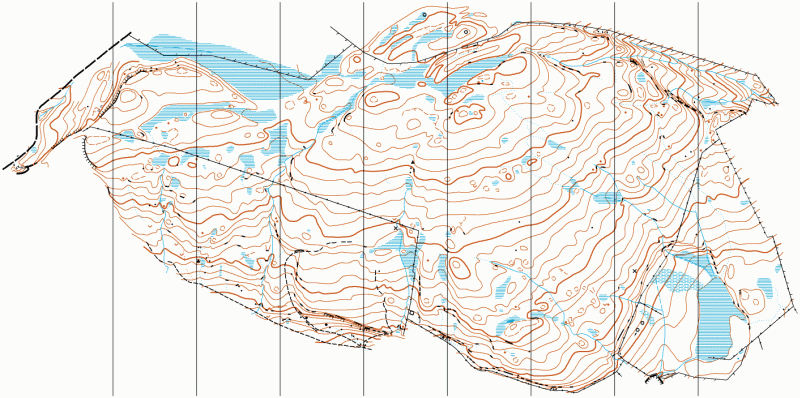
The Slacks map
The slacks
Information
Rising to 365m above the Clyde Estuary The Slacks is an area of open hillside overlooking the Erskine Bridge. It offers mainly fast running, though with small sections of deeper heather, and contains interesting contour and rock detail. Its distance from any car parking options make it unsuitable for holding events on, but it is a useful small training area. The map is being extended to the south and west. Like many open moors it is best appreciated at night.
Location
Near: Bowling Lat,Lng: 55.933,-4.4652 OS Grid Ref: NS464747 Postcode: G60 5AG What3Words: ///laws.slowness.internal
/-4.4652,55.933,12/500x400?access_token=pk.eyJ1IjoicGF1bGZyb3N0IiwiYSI6ImNrb3dtYXoycjA2NGMyeHQ2bmRqMnFrZjIifQ.nP5lTcgIDEirGf32roluZg)
Open an interactive map in:
GoogleMap -
OpenStreetMap -
BingMap (OS 50k)