
Dunrod HillSun 17 Mar, 2019
Dunrod Hill
Scottish Compass Sport Cup & Trophy Heat
Regional level event
Explanation of Event levels
Local events are usually low key and in the 'localised' area, ideal for newcomers to try the sport and Training events are non competitive and used for training and coaching, aimed at members of the club, but they can attract people from neighbouring clubs, and are often ideal for newcomers to try the sport. Regional events attract participants from around the local Region, National events are high quality competitions that will attract people from far away, Major events are Major Events such as a British Championships.
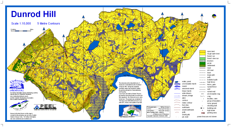
Terrain type: Moorland
Results
Report
Results available above, and with club results on Robin Strain’s website. Upload your route and see where you went on Routegadget, and do even more geeking on Winsplits and Splitsbrowser.
According to the rules of the competition, FVO and ESOC qualify for the Final of the Cup, while INT, CLYDE and TAY qualify for the Final of the Trophy.
Lost Property: A rather nice large black “Trespass” waterproof jacket and gloves. Contact CLYDE to arrange return.
Location Info
/-4.8054,55.9105,12/500x400?access_token=pk.eyJ1IjoicGF1bGZyb3N0IiwiYSI6ImNrb3dtYXoycjA2NGMyeHQ2bmRqMnFrZjIifQ.nP5lTcgIDEirGf32roluZg)
Near: Inverkip Lat,Lng: 55.9105,-4.8054 Postcode: PA16 9LX What3Words: ///royally.ambushed.husband
Open an interactive map in:
GoogleMap -
OpenStreetMap -
BingMap (OS 50k)
Directions / Parking
The roads around the Greenock Cut Visitors Centre are single track. To aid traffic flow we request that competitors access the area via Dunrod Road approaching the visitors centre from the west. For this route, leave the A78 south west of Greenock, about 1km beyond the old IBM factory turn-off if travelling from the north, or 1km beyond the Gourock turn-off if travelling from the south. This road is signposted for the Greenock Cut Visitors Centre.
Leaving the competition we request that competitors use theOld Largs road, round Loch Thom and then right for Largs or left for Greenock.
Parking:At the Visitor Centre.Please park as directed as space is tight.Please share cars where possible.
Map / Terrain
ISOM Scale 1:10,000 Contours 5m. A3size for all courses.
Dunrod Hill is a large area of open moorland, with significant contour, rock and water detail, and very little vegetation. There are some patches of heather, but these are generally very runnable and are not separately mapped. Competitors should beware of someunmapped narrow streams concealed by grass, and there are also a few loose strands of farmer’s wireinplaces.All courses have been planned to avoid a steep ravine in the north of the area.
White and Yellow courses have a taped route between two controls in order to ascendthe hill. Please make juniors aware of this prior to their runs.
Permitted barbed-wire fence crossing points are marked on the map and these MUSTbe used for the protection of both competitors and fencing. On some legs there will be a choice of crossing points. Sections of fencing that must not be crossed (between crossing points) are marked with purple overprint. Other fences and walls may be crossed at any point. Please report any damage to Registration.
Registration and Start times
Classroom in the Visitor Centre. Registration opens at 10.30am. Please remove muddy shoes. Also SIAC hire (£2.50) and car key deposit.
Start: There is one start for all courses. The start is 1.0km with minimalclimb from parking/assembly.Call up at -4 minutes.
Start times: 11.00 –13.00.Pre-entered CSC/CST competitor start times will bepublished on Sientries.comby midnight Thursday 14 March 2019