
Winter 1 - DougalstonThu 30 Jan, 2025
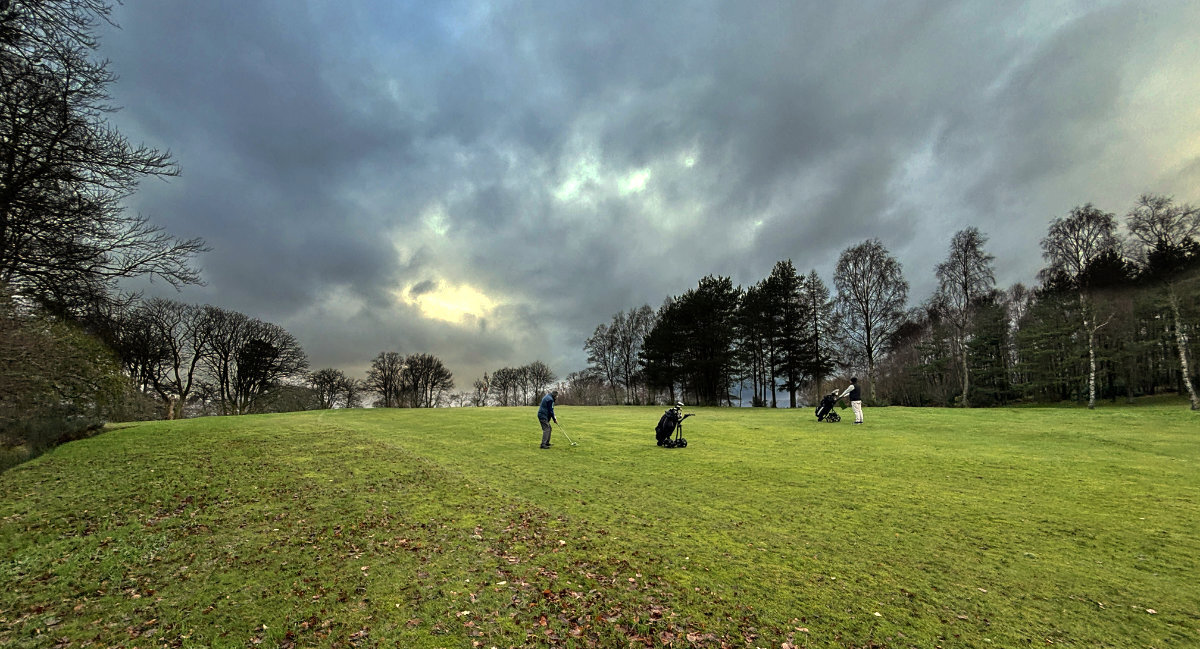
A Dougalston golf green
Winter evening series
Local level event
Explanation of Event levels
Local events are usually low key and in the 'localised' area, ideal for newcomers to try the sport and Training events are non competitive and used for training and coaching, aimed at members of the club, but they can attract people from neighbouring clubs, and are often ideal for newcomers to try the sport. Regional events attract participants from around the local Region, National events are high quality competitions that will attract people from far away, Major events are Major Events such as a British Championships.
Terrain type: Urban & Parkland & Woodland
Overview
Night orienteering activity in the Dougalston area. (Planner/organiser: Klaas Wynne)
Update 29/1/25: Large fallen trees on the courses due to storm Éowyn have been mapped, look stable, and can easily be avoided. There are a lot of smaller fallen trees (not mapped) and branches, so be careful.
Location Info
/-4.296,55.948,12/500x400?access_token=pk.eyJ1IjoicGF1bGZyb3N0IiwiYSI6ImNrb3dtYXoycjA2NGMyeHQ2bmRqMnFrZjIifQ.nP5lTcgIDEirGf32roluZg)
Near: Glasgow Lat,Lng: 55.948,-4.296 OS Grid Ref: NS567751 Postcode: G62 8HJ What3Words: //////badly.pump.sorry
Open an interactive map in:
GoogleMap -
OpenStreetMap -
BingMap (OS 50k)
Directions / Parking
Nuffield Health carpark off Strathblane Road
Map / Terrain
New 1:7,500 map of the Dougalston area (golf club, park, residential area) to ISOM 2017-2 standard by Klaas Wynne (2024). Uses 5m contours and 2.5m form lines. The course maps will be A4 and printed on waterproof paper. The control descriptions will be printed on the map (no loose control descriptions).
This area is small (ca. 1×1.5 km) but has it all: open grassland of the golf course, lots of little hills, a cliff, west coast rain forest, swamps, and a small residential area with little alleyways. Unfortunately, it also has a lot of rhododendron growth, which has been reasonably but not perfectly mapped. The area would probably be a bit too easy in daylight but is perfectly suited for night orienteering. Do not underestimate it, it’s got punch…!
Course Information
- Long course, Length: 4.7km (100 m)
- Short course, Length: 2.4 km (50 m)
- SPORTIdent for the start and finish but controls simply indicated by reflective tape
- We will have SIs for hire for £1 - there is a £30 charge if lost
Entry Details
Please enter via this registration form by 11 pm on Tuesday 28 January 2025 (£3 senior, £1.50 juniors/students).
Registration and Start times
- Registration opens at: 6pm
- Courses close at 8pm and controls will be collected in after that
- You must report to Download, even if you do not complete your course, so we know you are back safely and don’t have to mount a search for you.
- The start is located about 10 metres from registration/parking
Contacts / Officials
Please contact info@clydesideorienteers.org.uk if you have any questions.
Nearest A&E Hospital
Queen Elizabeth University Hospital, 1345 Govan Rd, GlasgowSafety Notes
- Studded shoes, full body cover, and head torch required. Backup torch and mobile phone recommended.
- Please watch out for members of the public, dogs, and mountain bikers.
- The area is used by the general public including cyclists and families. Please respect their right to be there at the same time as you are orienteering.
- Please respect the Out of Bounds areas.
- A comprehensive risk assessment has been carried out by the organisers, but participants take part at their own risk and are responsible for their own safety during the event.
- Children must be accompanied by a responsible adult.
- Any participants with relevant pre-existing medical conditions which might affect their participation should disclose them to the race organisers before they start.
- List of hazards
- Crag: the long course has a control under some crags of considerable height (~3m). Ensure you enter/leave this control in a north-south directions to avoid falling off the cliffs.
- Lochs / streams: there is a number of small lochs and an uncrossable marsh. You are not allowed to cross these.
- Traffic: the long course has a short section through a residential area. Take extra care crossing the roads and avoid running into pedestrians.
- Rough terrain: The Dougalston area is small, mostly well maintained, but surprisingly punchy and you are therefore advised to wear studded shoes and full body cover.